Applications
| Title | |
|---|---|
|
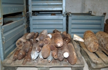
Explosive Ordnance Disposal (EOD) The analysis of aerial photography supplied by NCAP is an essential process in locating Explosive Ordnance. It enables specialists to excavate, make safe, and dispose of unexploded bombs. |
 |
|
Creative Uses NCAP works with partners throughout the world, including documentary makers and computer software companies, who feature our imagery in their products. |
 |
|
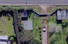
Boundary Disputes Available aerial photography of Scotland spans 80 years, making it a useful tool in litigation. Between the 1940's and today, many locations in Scotland are covered at least six times, potentially demonstrating boundary conditions on precise dates. |
 |
|
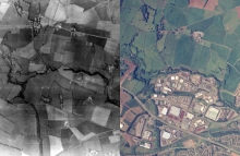
Land-use Change Our extensive range of historical aerial photographs can aid in analysis of past land use which could have an environmental impact on the site today and in the future. |
 |
|
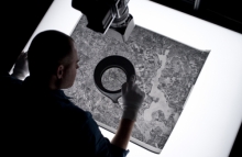
Police Investigation Read about how NCAP aerial imagery is used by the police to investigate cold cases. |
 |

