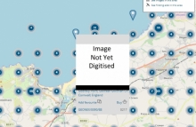
Another 355,000 UK centre-points released
Over 455,000 not-yet-digitised aerial images of the UK can now be searched and ordered from our website. Each image is identified by a point on our map browser. These points show the locations of aerial survey photographs of places across the UK. Drawn from our Simmons Aerofilms, Airbus and UK Perspectives collections, the photographs date from the 1960's to the 2000's.
To search for photographs, Browse by Map and zoom to your area of interest. Find and click on the points to see the date and reference of each image. Click 'Buy' to order a copy at high resolution.
If you are not sure an image will completely cover your area of interest, add Image Verification to your order.
24 May 2019


